Minorca. Carte, mappe, disegni
Contenuto
- Titolo
- Minorca. Carte, mappe, disegni
- Data
- 1725
- 1790
- Descrizione
- Collezione di rappresentazioni grafiche di Minorca o di sue regioni specifiche
- Lingua
- italiano, inglese
- Collezione
- ASMSA | Mediterraneo. Cartografie e mappe
- Media
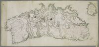
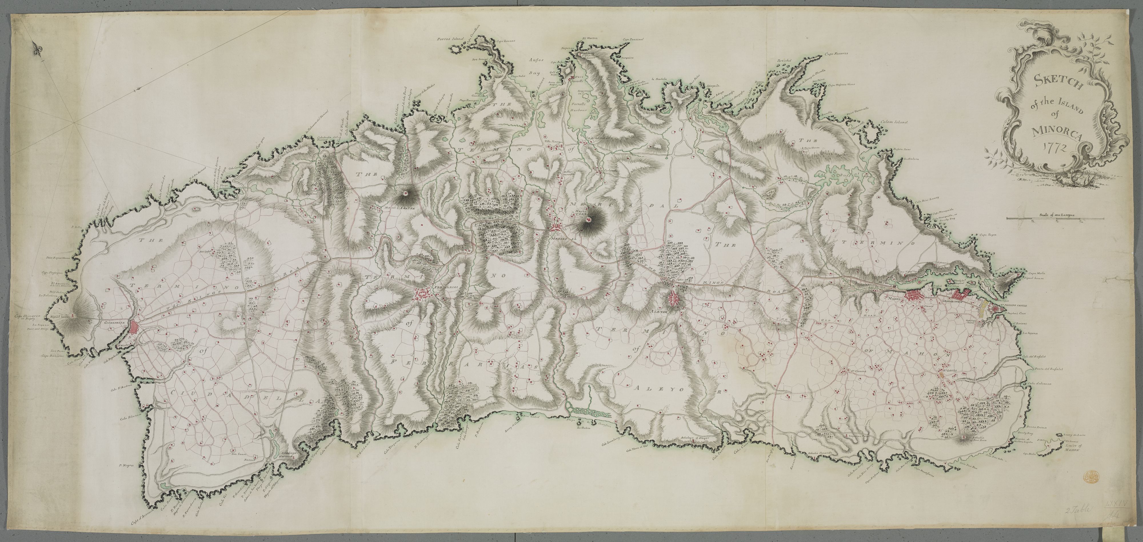
 SKETCH of the ISLAND of MINORCA 1772
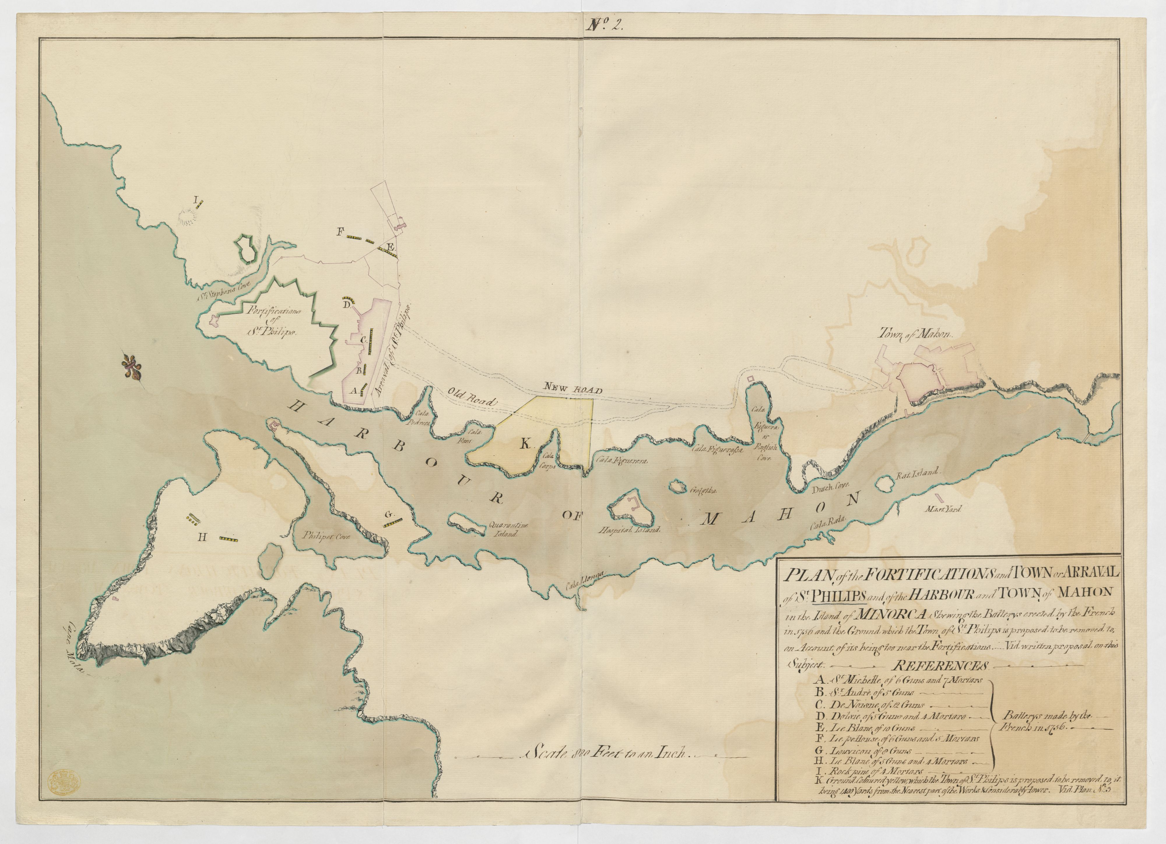
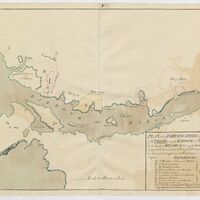 PLAN of the FORTIFICATIONS and TOWN or ARRAVAL of St. PHILIPS and of the HARBOUR and TOWN of MAHON in the Island of MINORCA
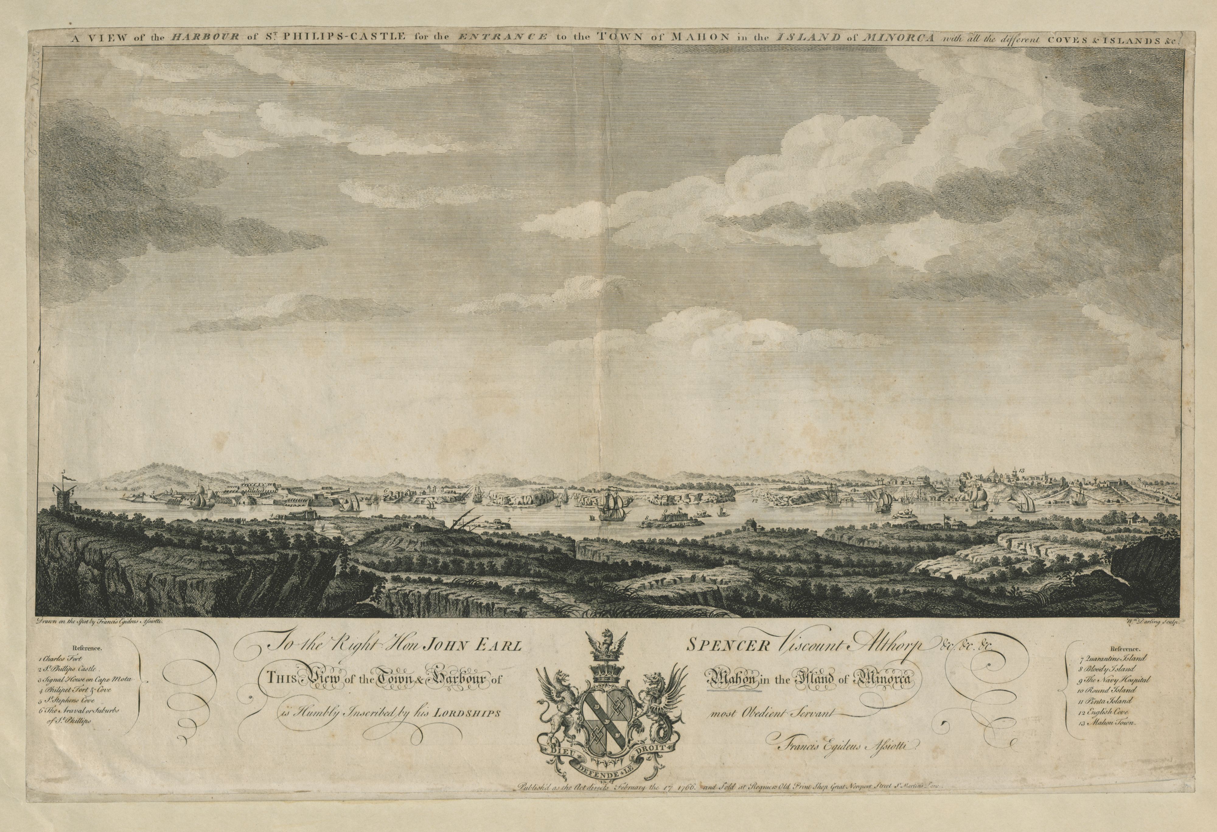
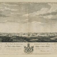 Vista del porto del castello di San Filippo a Minorca
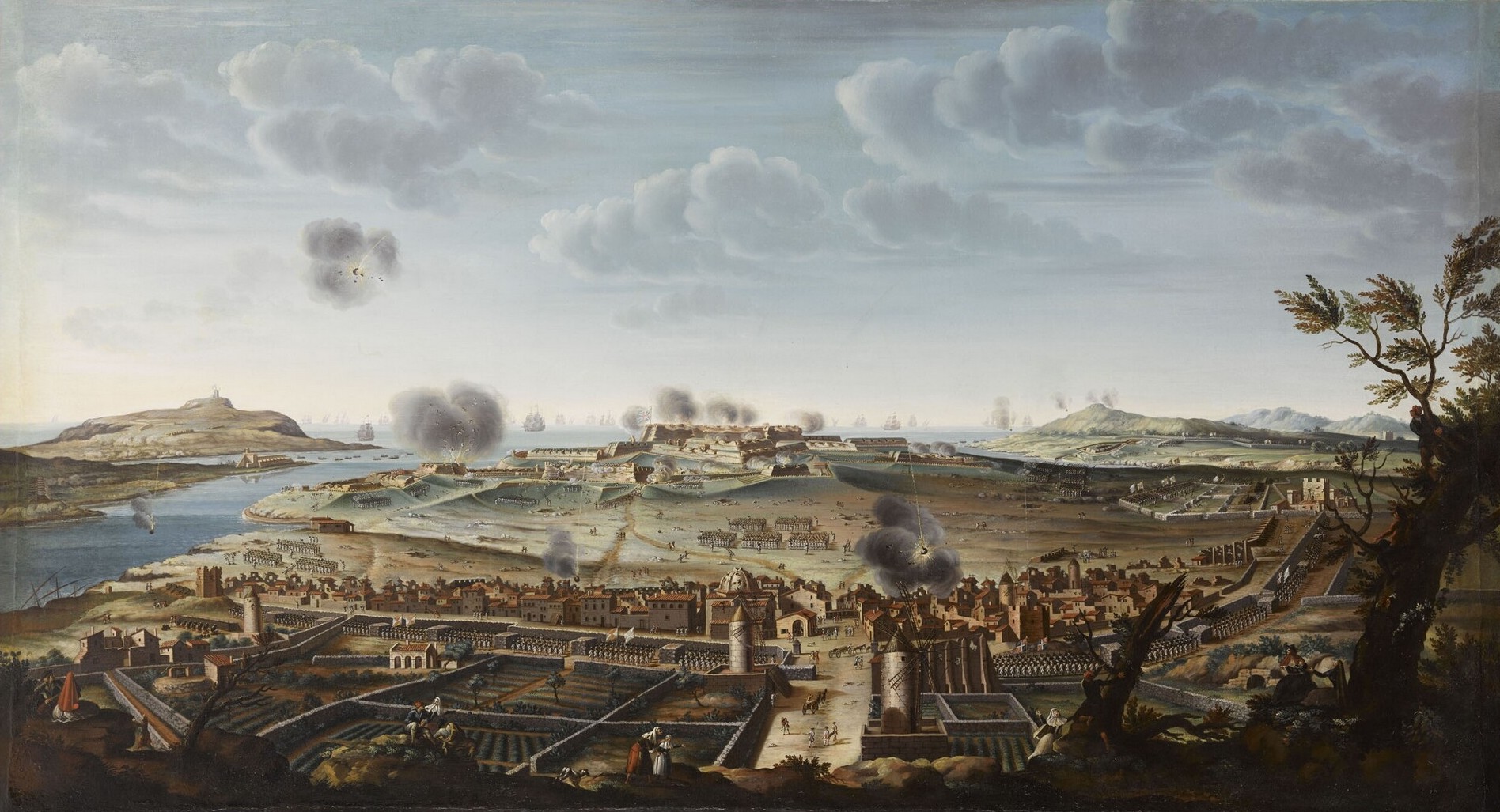
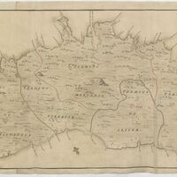 Mappa dell'isola di Minorca
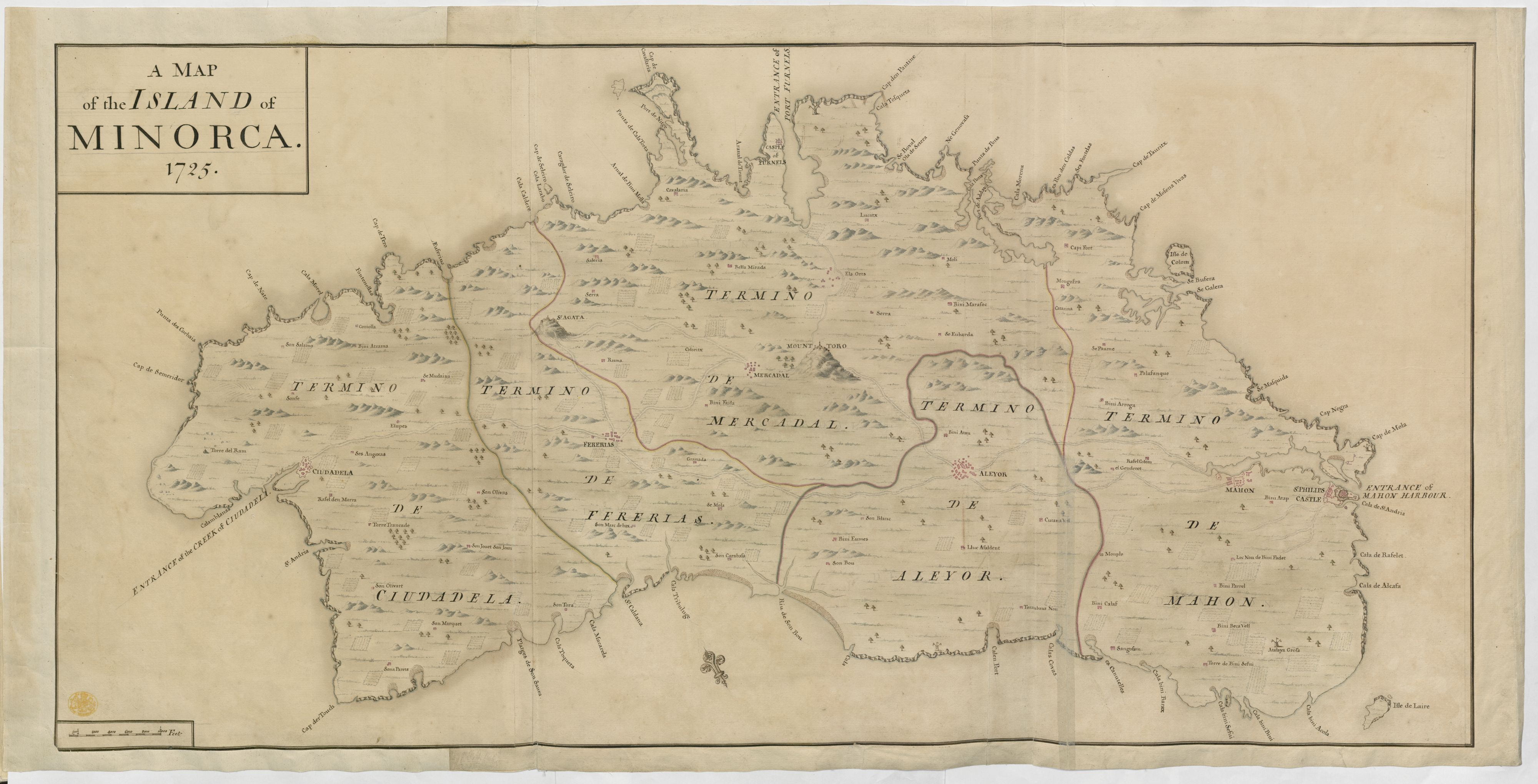
 Diagramma magistrature
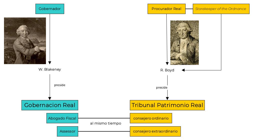
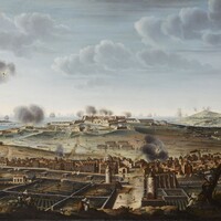 Prise Port Mahon Minorque 20 mai 1756
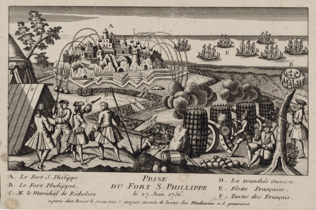
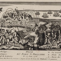 Presa francese di Minorca
 mappa_alexiano
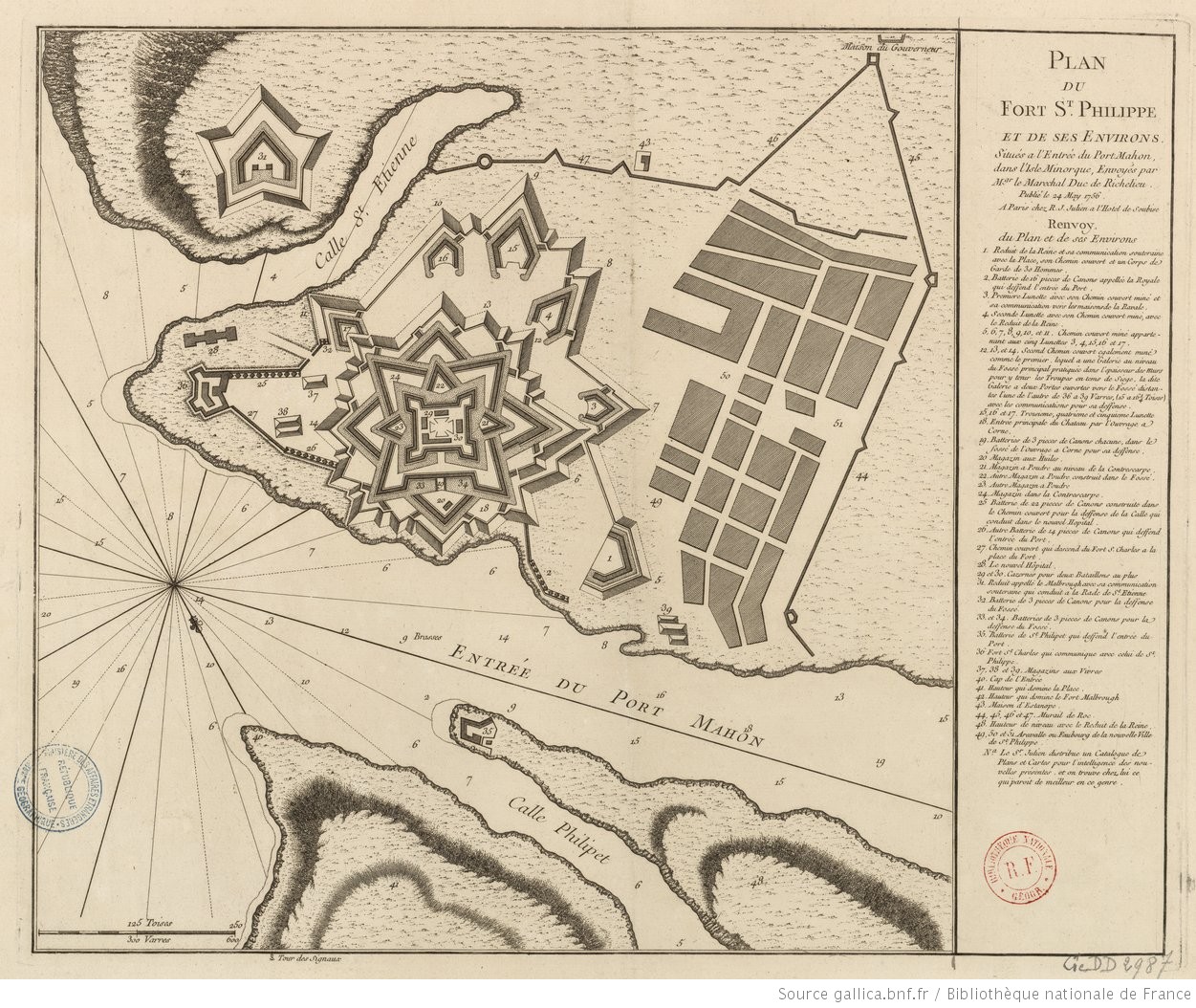
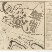 Plan du Fort St. Philippe et de ses Environs
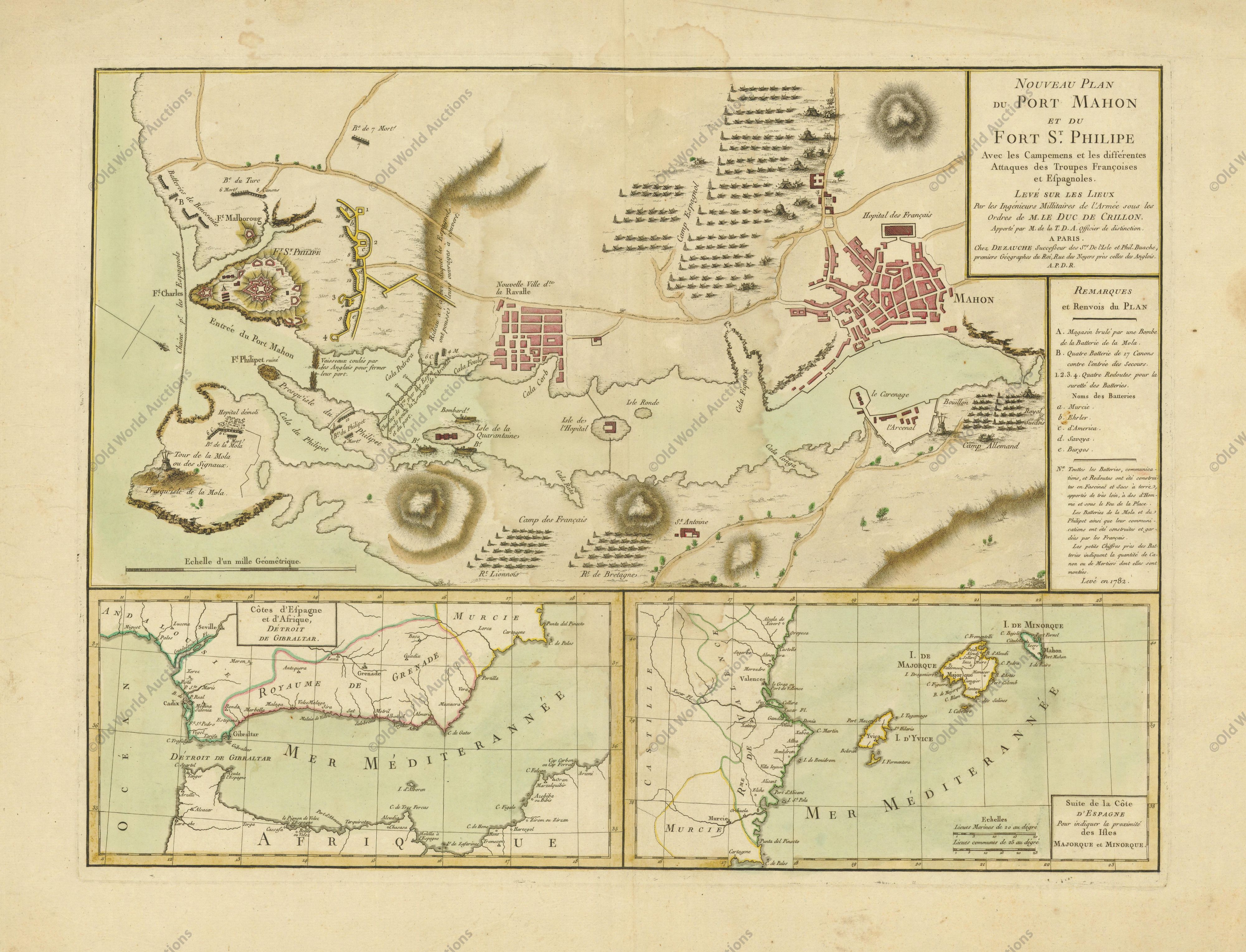
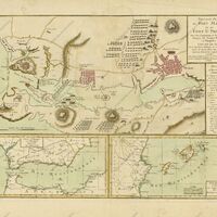 Nouveau Plan du Port Mahon et du Fort St. Philippe avec les Campemens et les Differentes Attaques des Troupes Francoises et Espagnoles
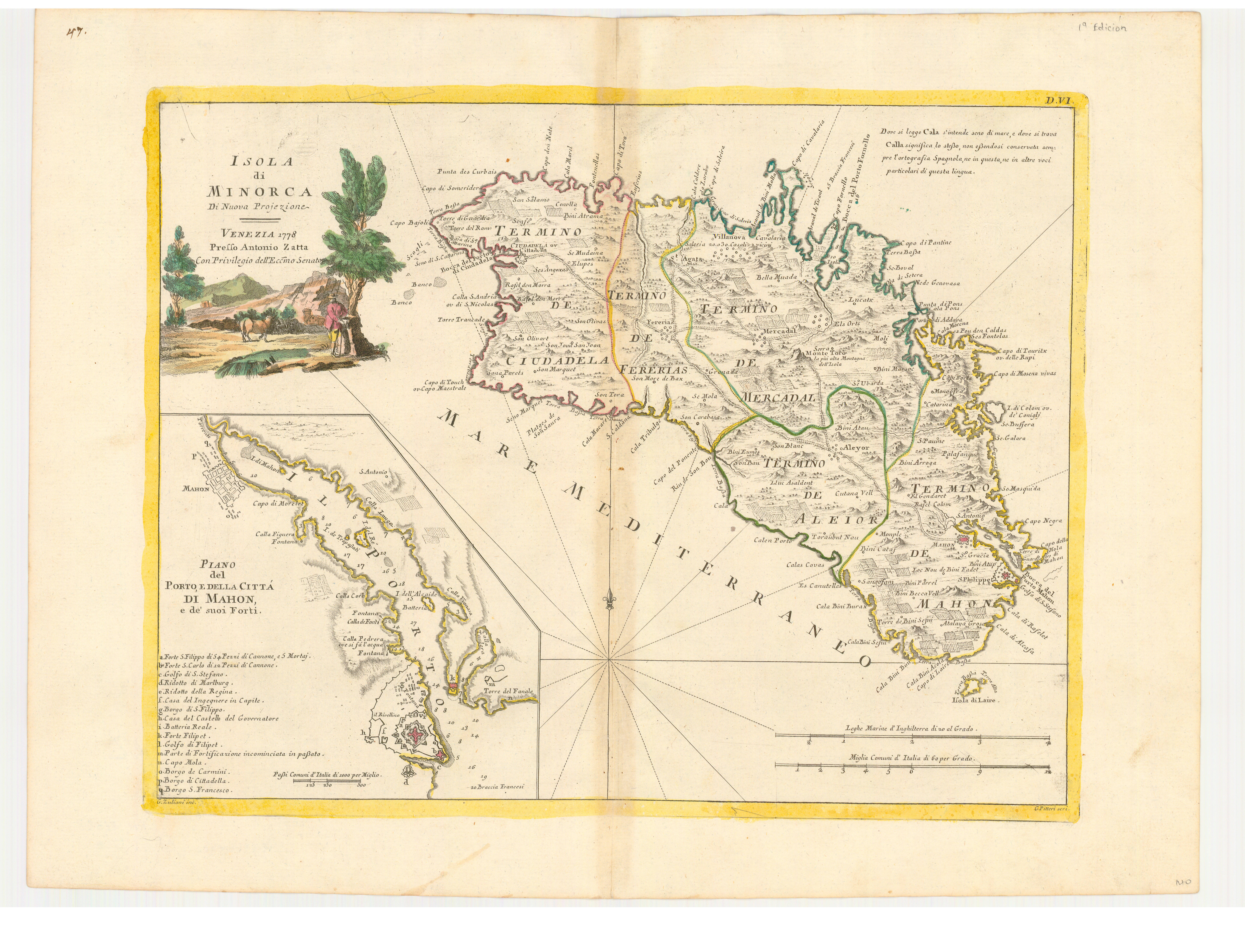
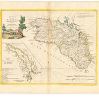 Isola di Minorca. Di nuova Projezione. Plano del Porto et della cittá di Mahon
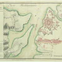 Plan du fort St. Philippe à l'entrée du Port-Mahon, dans l'isle de Minorque. 1756
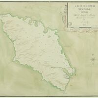 Carte de l'Isle de Minorque, dediée à M. le marquis de Paulmi
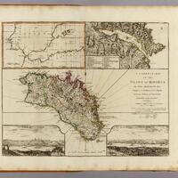 A correct map of the island of Minorca by John Armstrong,
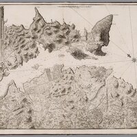 El Puerto de Mahon y su costa
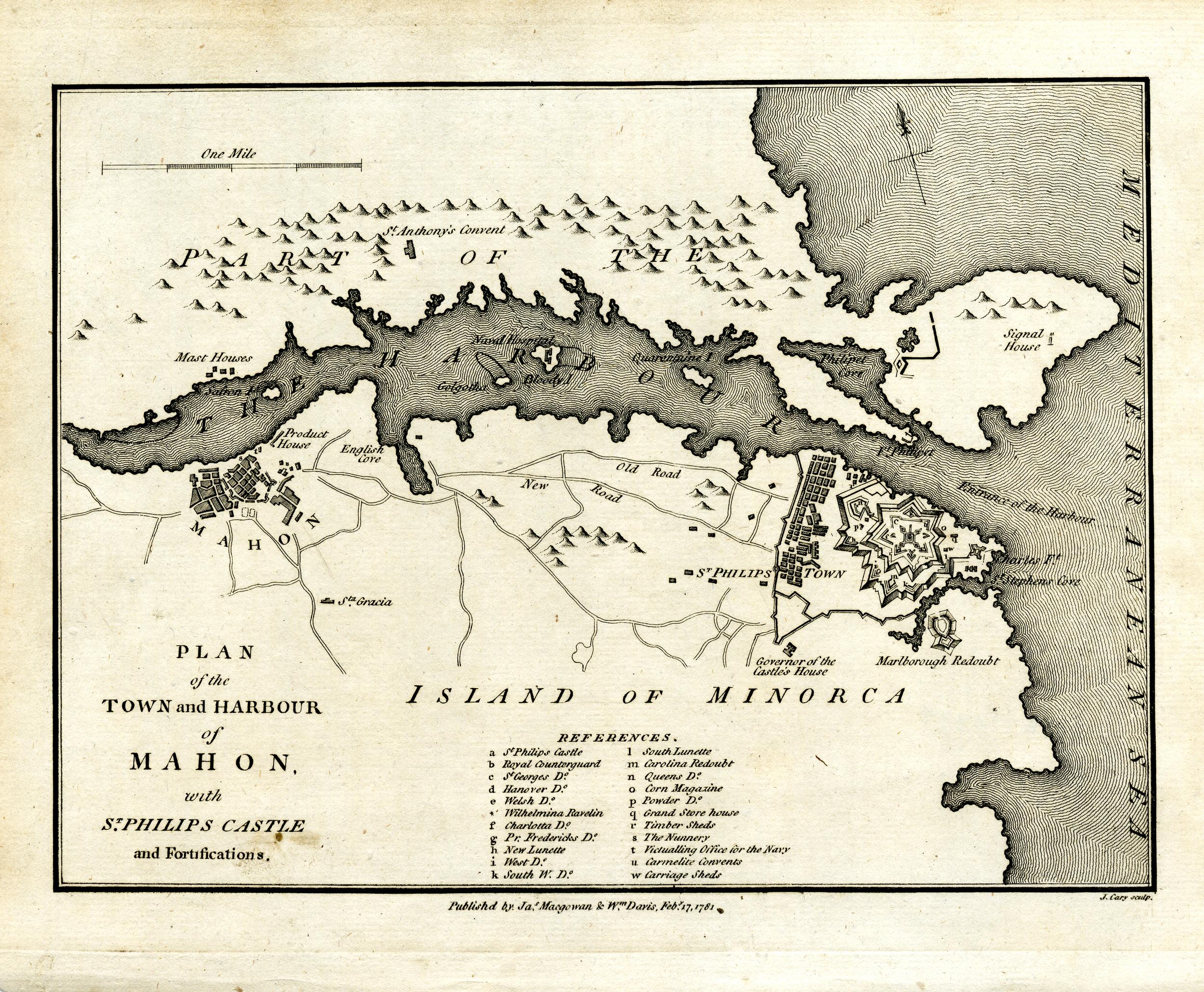
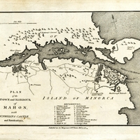 Map of the town of Mahon on the island of Minorca
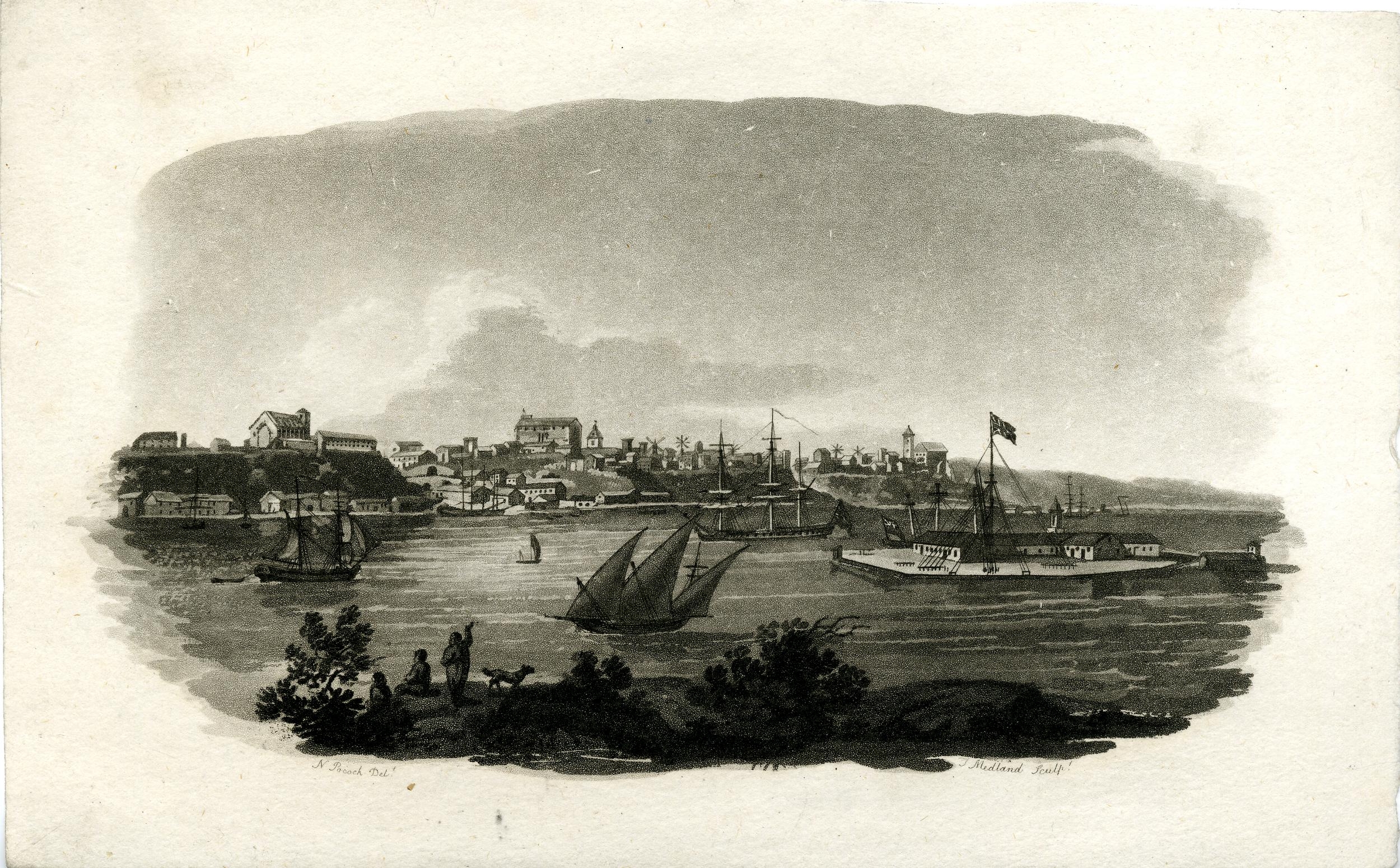
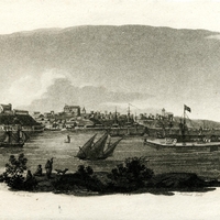 View of Mahon Harbour
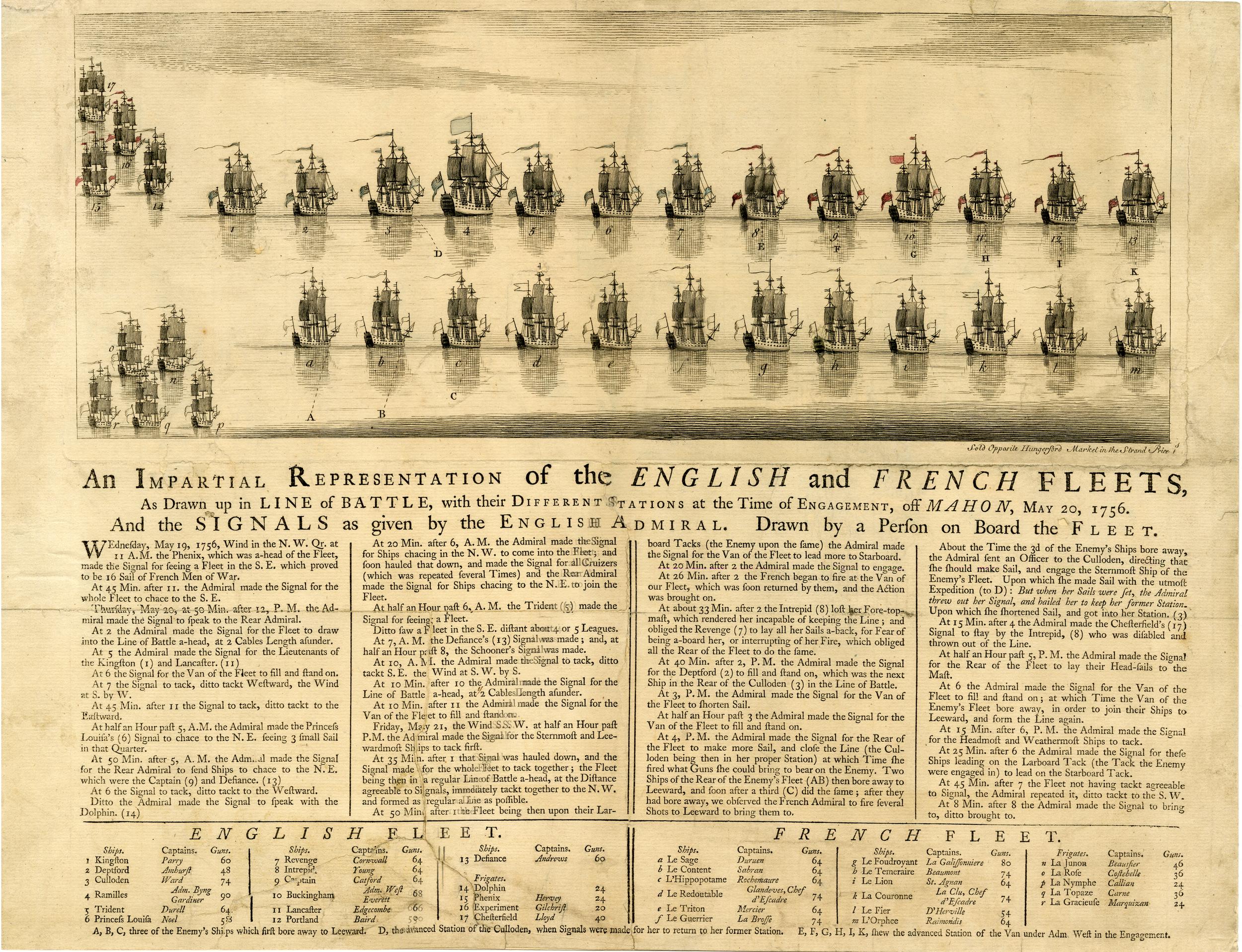
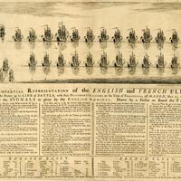 An impartial representation of the English and French fleets